| Home > California > Leviathan Recreation Area |
Leviathan Recreation Area
Wednesday, July 30, 2025
| Other Names | Leviathan Mine Road, Barney Riley Trail, Leviathan Creek, Loop Canyon Road, Monitor Pass, Smiths Creek, Carson River, Toiyabe National Forest, High Peak, Dome Two, Leviathan Peak, Haypress Flat, Humboldt Toiyabe National Forest, Carson Ranger District |
| Last Known Status | Open |
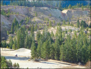
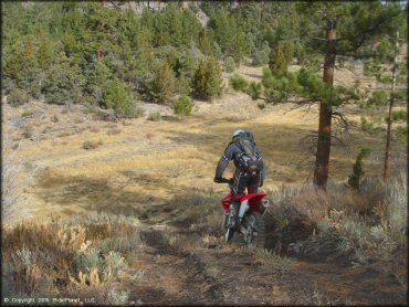
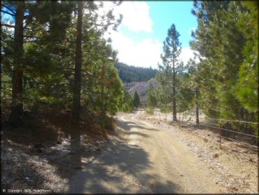
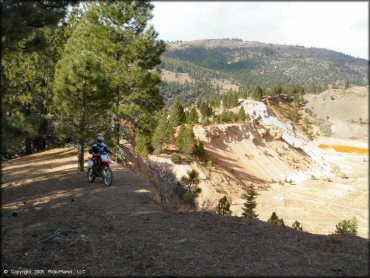
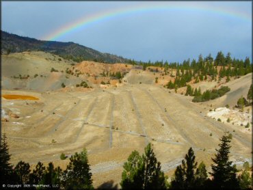
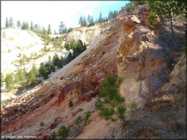
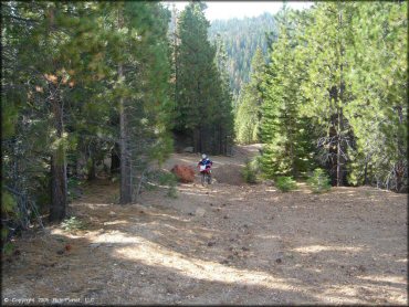
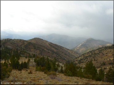
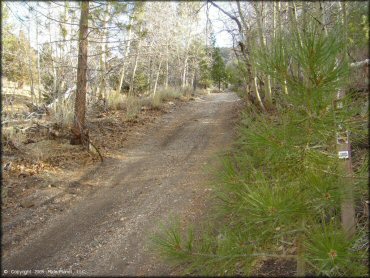
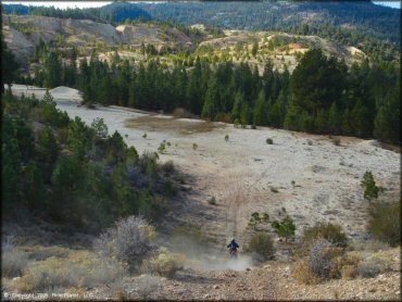
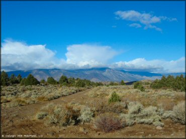
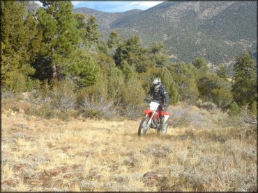
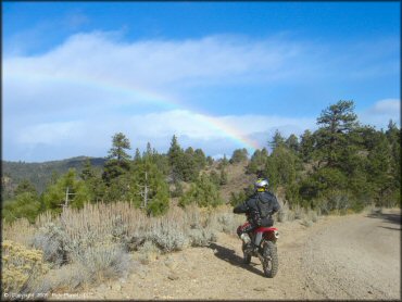
This remote and scenic area on the California-Nevada border consists mainly of jeep trails and fire roads surrounding a large dormant sulfur mine (off-limits). The area offers some primitive campsites, but no clearly designated staging areas or services.
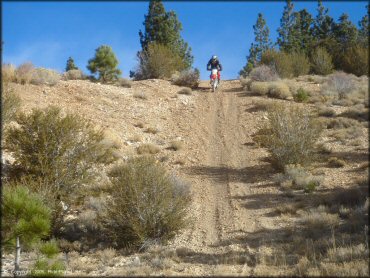
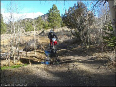
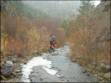
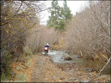
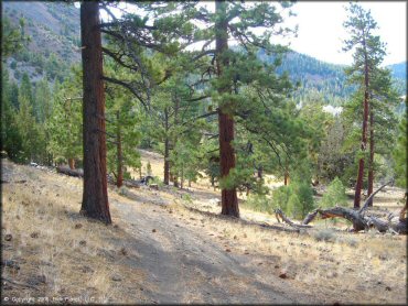
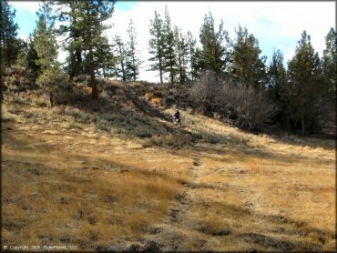
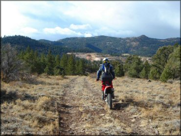
You will find about fifteen miles of scenic views of the high-desert forests and mountain ranges along the main road with just a handful of decent side trails. A long rocky jeep trail with many stream crossings (caution - some over 1 foot deep.) is located in the northwest area. You will not find much exciting terrain here overall, but at least you'll have the whole place to yourself.
REGULATIONS
| Permit Required | Yes | CA OHMVR stickers required |
| Dates Open | Year-Round | CA OHMVR red sticker vehicles permitted year round |
| Other ATV Stickers Accepted | Yes | Residents of any state not listed must purchase a Nonresident OHV Use Permit. (AR, AZ, CA, CO, CT, DE, IA, ID, IN, LA, MA, MD, ME, MI, MN, MO, MT, ND, NH, NJ, NM, NV, NY, OH, OK, OR, PA, RI, TX, UT, VT, WA, WI, WY) |
| Spark Arrestor | Yes | A spark arresting exhaust silencer or end cap is required for all vehicles. |
| Noise Limit | Yes (96 dB) | CA OHMVR noise limits apply (1985/older limit 101 dB, 1986/newer limit 96 dB) |
| Whip Flags | Not Required | |
| Maximum Vehicle Width | No Restriction | |
 Motorcycles & Dirt Bikes Motorcycles & Dirt Bikes | Permitted | CA OHMVR stickers required |
 ATVs ATVs | Permitted | CA OHMVR stickers required |
 UTV & SXS UTV & SXS | Permitted | CA OHMVR stickers required |
 SUVs & Jeeps (registered) SUVs & Jeeps (registered) | Permitted | |
| Dune Buggy & Sand Rail 4x4 (unregistered) | Some Areas | CA OHMVR stickers required |
| 2 Stroke Engines | No Restriction | CA OHMVR restrictions apply |
| MX Helmet Required | Yes | helmets required by state law |
 Camping Camping | Some Areas | (camp in developed sites only) |
 Campfires Campfires | Some Areas | (permitted in developed campsites only) |
| Night Riding | Yes | Not Recommended |
| Trail Blazing | Prohibited | keep on designated trails |
| Alcohol | No Restriction | |
| Rule Enforcement | Few/Periodic | |
| Comment | Leviathan Mine is off limits, also they have surveillance cameras. | |
TERRAIN
| Approx Size | 1,000 acres (2 sq mi) | |
| Miles Of Trail | 50 | |
| Climate Type | Forest | |
| Elevation | 6000 to 8700 ft. | |
| Trail Maintenance | Marked, Not Rated, Lightly Maintained | |
| Loose Dirt |  Little Little | |
| Hard Pack |  Mostly Mostly | |
| Sand |  None None | |
| Mud |  Little Little | |
| Dust |  Some Some | |
| Rocks |  Some Some | |
| Trees |  Many Many | |
| Steep Hills |  Few Few | |
| Water Crossings |  Few Few | |
| Small Jumps |  None None | |
| Large Jumps |  None None | |
| Berms |  None None | |
| Sand/Gravel Pits |  None None | |
| Single Track |  None None | |
| Roads |  All All | |
| Intersections |  Few Few | |
| Rider Traffic |  None None | |
| Shade |  Many Many | |
| Ranges/Gunfire |  Few Few | |
| Hazards |  Few Few | (hazards are marked) Laviathan Mine |
 Novice Novice |  Mostly Mostly | |
 Amateur Amateur |  Some Some | |
 Expert Expert |  Little Little | |
| Comment | Barney Riley Trail is very rocky and challenging jeep trail | |
TYPE OF AREA
| Area | Motorized Trails |
| Land | National Forest |
GPS POINTS
KEY SERVICES
 Gasoline Gasoline | 5-20 Miles (N) | Woodfords Station |
 Diesel Diesel | 5-20 Miles (N) | Woodfords Station |
 Water Water | 1-5 Miles (W) | Mount Bullion |
 RV Hookup RV Hookup | 5-20 Miles (E) | Topaz Lodge (800) 962-0732 |
 RV Disposal RV Disposal | 5-20 Miles (E) | Topaz Lodge |
 Campground Campground | 5-20 Miles (W) | Grover Hot Springs (530) 644-2248 |
 Conv Store Conv Store | 5-20 Miles (N) | Smiths - Gardnerville (775) 782-0155 |
FEES & PASSES
| Parking | (None) |
| Entry | (None) |
| Riding | (None) |
| Camping | (None) |
RATINGS
| Pros | no traffic, remote, primitive, free, large area |
| Cons | no actual trails, all roads, no services, no clear or designated staging areas |
| Our Rating |  Fair Fair |
| Recommended Stay | 1-2 Days Spring, Summer |
| Comments | (Scroll Down For Rider Reviews & Comments) |
DRIVING DIRECTIONS
| Nearest City | Markleville, CA | ||
| From: Markleville, CA
1) Take 89 South for about 9 miles 2) Turn left (north) on Leviathan Mine Road (N38.40.144 W 119.39.998) 3) Go .6 miles, veer right 4) Go another .6 miles until it breaks out in a field 5) Stage here, you will see multiple OHV trails (if road turns into pavement you've gone too far). From: Carson City, NV 1) Go approx 30 miles south on 395 2) Turn right (west) on Leviathan Mine Road 3) Follow Leviathan Mine Road for approx 5 miles 4) Staging should be done before crossing the cattleguard. A good staging opportunity is when you see a brown sign that says "Entering California" at GPS coords N38.45.710 W119.39.428 |
OFFICIAL CONTACTS
| Contact Info | Humboldt - Toiyabe National Forest 1200 Franklin Way Sparks, NV 89431 (775) 331-6444 mailroom_r4_humboldt_toiyabe@fs.fed.us www.fs.usda.gov |



RIDER COMMENTS & REVIEWS