| Home > California |
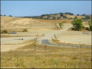 La Grange OHV Park
Status: Open
Type: Combo (County Land)
Location: Modesto, CA
Difficulty:

This previously active gold dredge is now a popular offroad park that has several open play areas, hill climbs, short trail loops, mud bogs (seasonal) and two motocross tracks that are groomed and watered during scheduled race events. More...
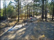 Lake Arrowhead
Status: Open
Type: Trail (National Forest)
Location: Lake Arrowhead, CA
Difficulty:

Tucked away behind a wooded residential area, this park offers several miles of smooth and fast trails, a large staging area with newer facilities and great scenery. More...
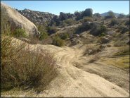 Lark Canyon OHV Area
Status: Open
Type: Trail (BLM)
Location: Live Oak Springs, CA
Difficulty:

The occasional host of trials events, this trail system is specifically designed for motorcycles. More...
 Lemoore Motocross Park
Status: Open (Open To Members Only)
Type: Track (Privately Owned / Commercial)
Location: Lemoore, CA
Difficulty:

This is a small club of active duty, reserve, and retired service members that offer three motocross tracks for all skill levels. More...
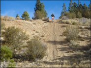 Leviathan Recreation Area
Status: Open
Type: Trail (National Forest)
Location: Markleville, CA
Difficulty:

This remote and scenic area on the California-Nevada border consists mainly of jeep trails and fire roads surrounding a large dormant sulfur mine (off-limits). More...
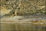 Littlerock OHV Area
Status: Temporarily Closed (due to dredging operations)
Type: Trail (National Forest)
Location: Littlerock, CA
Difficulty:

This popular offroad area offers about 6 miles of trails that begin near the Santiago Canyon picnic area and heads east past the Little Rock Dam. More...
 Los Banos Fairgrounds County Park
Status: Open (open during select weekends)
Type: Track (County Land)
Location: Los Banos, CA
Difficulty:

This motocross track is only open during summer months (about ten weeks out of the year). More...
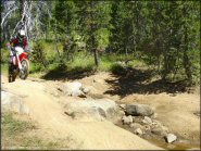 Lower Blue Lake
Status: Open
Type: Trail (National Forest)
Location: Woodfords, CA
Difficulty:

Beautiful forest scenery, technical rocky sections and several deep stream crossings make up this challenging seven mile 4x4 trail. More...
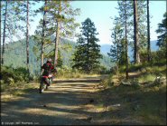 Lubbs Trail
Status: Open
Type: Trail (National Forest)
Location: Orleans, CA
Difficulty:

Located in Bigfoot Country, a small network of old jeep trails and forest service roads can be found in this area. More...


