| Home > California |
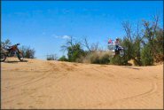 Heber Dunes SVRA
Status: Open
Type: Combo (State Recreation)
Location: Heber, CA
Difficulty:

This small dune area is open daily during daylight hours. More...
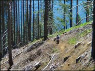 High Dome Trail
Status: Open
Type: Trail (National Forest)
Location: Gasquet, CA
Difficulty:

This scenic four mile single-track trail is for motorcycles only, but the main forest road can be used to form nice loop. More...
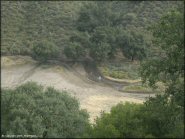 Hollister Hills SVRA
Status: Open (This park reaches capacity during most weekends. To receive real-time notifications with current status text ‘hollisterhills’ to 74121.)
Type: Combo (State Recreation)
Location: Hollister, CA
Difficulty:

This is a state operated recreation area designed specifically for OHVs. More...
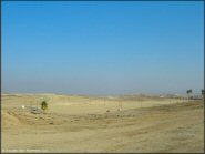 Honolulu Hills Raceway
Status: Open (open during select weekends)
Type: Combo (Privately Owned / Commercial)
Location: Bakersfield, CA
Difficulty:

This raceway is private and has occasional practice and race events but does not have a regular schedule so call the track hotline for current info. More...
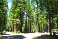 Hull Creek And Trout Creek OHV Area
Status: Open
Type: Trail (National Forest)
Location: Long Barn, CA
Difficulty:

This popular trail system has about 20 miles of designated ATV trails and around 100 miles of forest service roads to explore. More...
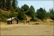 Humbug OHV Area
Status: Open
Type: Trail (National Forest)
Location: Yreka, CA
Difficulty:

This offroad area opened to the public around 2013 and offers 14 miles ATV trails, level parking with primitive camping, vault toilets and a youth training area. More...
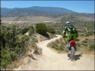 Hungry Valley SVRA
Status: Open
Type: Combo (State Recreation)
Location: Gorman, CA
Difficulty:

Hungry Valley SVRA offers over 130 miles of ATV trails and numerous camping and staging opportunities. More...
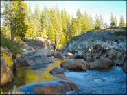 Indian Springs
Status: Open
Type: Trail (National Forest)
Location: Soda Springs, CA
Difficulty:

This area is actually more of a 4x4 trail, but it will test your rock climbing skills if you decide to tackle it on your motorcycle. More...
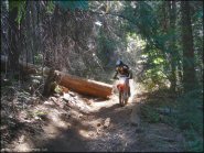 Interface Recreation Trails
Status: Open
Type: Trail (National Forest)
Location: Arnold, CA
Difficulty:

This secluded area offers mostly moderate ATV and motorcycle-only trails through the woods. More...
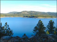 Jackson Meadows
Status: Open
Type: Trail (National Forest)
Location: Truckee, CA
Difficulty:

This part of the Tahoe National Forest mainly consists of dirt roads but still offers plenty of recreational opportunities to choose from, such as numerous lakes and campsites to please any outdoor enthusiast. More...


