| Home > California |
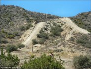 Quail Canyon Motocross Track
Status: Temporarily Closed (due to damage from the Post Fire)
Type: Track (State Recreation)
Location: Gorman, CA
Difficulty:

Formerly known as I-5 MX, Quail Canyon Motocross Track has re-opened to the public after a period of closure and is now operated by the state in conjunction with the Hungry Valley SVRA Area. More...
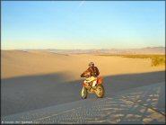 Rasor OHV Area
Status: Open
Type: Combo (BLM)
Location: Barstow, CA
Difficulty:

This secluded area offers several miles of sand washes and desert trails that lead to a small but fun dune area. More...
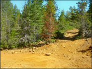 Rattlesnake Ridge Area
Status: Open
Type: Trail (National Forest, Nat Recreation)
Location: Crescent City, CA
Difficulty:

This area offers some great scenery but mainly consists of old mining roads from the 1940's. More...
 Reata Motocross Track
Status: Open
Type: Track (City Land)
Location: Bishop, CA
Difficulty:

Open daily year-round, this natural terrain track is open to both quads and motorcycles. More...
 Rice Canyon OHV Area
Status: Open
Type: Trail (BLM)
Location: Susanville, CA
Difficulty:

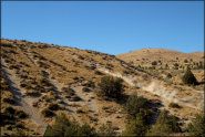
This off-road area offers 120 acres of desert trails, hill climbs, a play area/makeshift motocross track for beginners plus a long ATV trail that heads northwest and ends at Hwy 139. More...
 Rincon Redbox Truck Trail
Status: Temporarily Closed (due to Bobcat Fire and rockslides)
Type: Trail (National Forest)
Location: Azusa, CA
Difficulty:

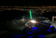
This old forest service road is located just past the San Gabriel OHV Area. More...
 Riverfront MX Park
Status: Open
Type: Track (Privately Owned / Commercial)
Location: Marysville, CA
Difficulty:

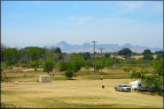
Overlooking the Feather River, this motocross park offers three tracks to choose from that range from a main, vet/quad and a peewee track for the little guys. More...
 Rock Front OHV Area
Status: Open
Type: Trail (National Forest)
Location: Santa Maria, CA
Difficulty:

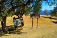
This is a fairly large OHV area offers over 45 miles of marked and rated trails. More...
 Rowher Flat OHV Area
Status: Open
Type: Trail (National Forest)
Location: Santa Clarita, CA
Difficulty:

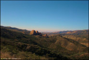
This part of the Angeles National Forest offers about 60 miles of offroad trails, technical hill climbs and some play areas. More...
 Rubicon Trail
Status: Open
Type: Trail (National Forest, County Land)
Location: South Lake Tahoe, CA
Difficulty:

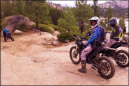
This popular 4x4 trail is about 22 miles long and has two trailheads, one on the west side of Lake Tahoe and the other near Loon Lake. More...


